Livrare
Consilier de cumpărături


Nu se pretează? Nu contează! La noi puteți returna bunurile în 30 de zile
 Voucher cadou
orice valoare
Cu un voucher cadou nu veți da greș. În schimbul voucherului, destinatarul își poate alege orice din oferta noastră.
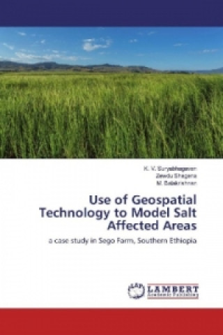
Use of Geospatial Technology to Model Salt Affected Areas
 engleză
 95 b
95 b
30 de zile pentru retur bunuri
Ar putea de asemenea, să te intereseze


Salinization is one of the major problems of irrigated agriculture in arid and semi-arid areas, affecting productivity of agricultural lands. Managing salinity to minimize its environmental impact is a pre-requisite for the long-term sustainability of irrigated agriculture. Major objectives of this study were to assess the level of salinity in Sego irrigated farm in Ethiopia and to map temporal and spatial distribution of salt affected soils to aid in salinity management. Validation of the models was made to test their predication capability and the overlay model revealed better correlation coefficient of 68.0% to the measured ECe. The map of salt affected soils derived from the overlay salinity model was used to assess distribution of salt affected soils with respect to water table and soil type. Most of the salt affected areas was on shallow water table where the strongly saline soil accounting for 2.8% on the shallow water table. The distribution of salt affected areas with respect to soil type showed Cambisols and Fluvisols were greatly affected by salinity where Salonchaks and Solonetz were on salt affected areas.
Informații despre carte
 engleză


 Cum să cumpăr


