 Contact
 Cum să cumpăr
Livrare
Consilier de cumpărături
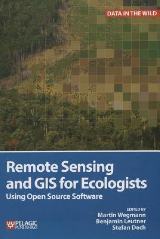
Remote Sensing and GIS for Ecologists
 engleză
 127 b
127 b
Până la 30 de zile pentru returnare
Clienții au cumpărat de asemenea
This is a book about how ecologists can integrate remote sensing and GIS in their daily work. It will allow ecologists to get started with the application of remote sensing and to understand its potential and limitations. Using practical examples, the book covers all necessary steps from planning field campaigns to deriving ecologically relevant information through remote sensing and modelling of species distributions. All practical examples in this book rely on OpenSource software and freely available data sets. Quantum GIS (QGIS) is introduced for basic GIS data handling, and in-depth spatial analytics and statistics are conducted with the software packages R and GRASS. Readers will learn how to apply remote sensing within ecological research projects, how to approach spatial data sampling and how to interpret remote sensing derived products. The authors discuss a wide range of statistical analyses with regard to satellite data as well as specialised topics such as time-series analysis. Extended scripts on how to create professional looking maps and graphics are also provided. This book is a valuable resource for students and scientists in the fields of conservation and ecology interested in learning how to get started in applying remote sensing in ecological research and conservation planning.


Informații despre carte
engleză

Dăruiește această carte chiar astăzi
Este foarte ușor
1 Adaugă cartea în coș și selectează Livrează ca un cadou 2 Îți vom trimite un voucher în schimb 3 Cartea va ajunge direct la adresa destinataruluiAr putea de asemenea, să te intereseze


 /
/
 Carte broșată
 169.77
lei
169.77
lei
 /
/
 Adobe ePub DRM
79.94
lei
Adobe ePub DRM
79.94
lei


 /
Carte broșată
74.73
lei
/
Carte broșată
74.73
lei
 /
Copertă tare
288.55
lei
/
Copertă tare
288.55
lei


 /
Carte broșată
141.98
lei
/
Carte broșată
141.98
lei
Bună ziua! Sunt Libroamiko, consilierul dumneavoastră de cărți.
Cu ce vă pot ajuta?