Livrare
Consilier de cumpărături


Nu se pretează? Nu contează! La noi puteți returna bunurile în 30 de zile
 Voucher cadou
orice valoare
Cu un voucher cadou nu veți da greș. În schimbul voucherului, destinatarul își poate alege orice din oferta noastră.
Introduction to Satellite Image Interpretation
 engleză
 150 b
150 b
30 de zile pentru retur bunuri
Ar putea de asemenea, să te intereseze


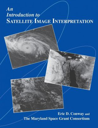
Eric D. Conway and the Maryland Space Grant Consortium present a fascinating introduction to the interpretation of satellite imagery, a technology of increasing importance for a wide variety of scientific applications. Prepared in association with the National Oceanic and Atmospheric Administration (NOAA), this extensively illustrated text and accompanying CD-ROM offer a thorough overview of the use of satellite technology in Earth and planetary science, weather forecasting, and environmental research. The book covers the foundations of remote sensing, the types of satellites, and the basics of satellite image interpretation. Other topics include geographical, oceanographical applications, and atmospheric science applications of satellite imagery. With a fully indexed glossary, this well-written and thoughtfully presented text is ideal for science teachers, undergraduate and graduate students, professionals working in the field of operational meteorology, and others interested in knowing more about interpreting satellite imagery. The accompanying CD-ROM of satellite images enables the user to zoom in on many images (some of which appear in color), use overlays to identify important elements in the satellite image, and keep a notes file. The program requires a Macintosh, Windows, or Windows 95 operating system.
Informații despre carte
 engleză


 Cum să cumpăr


