Livrare
Consilier de cumpărături


Nu se pretează? Nu contează! La noi puteți returna bunurile în 30 de zile
 Voucher cadou
orice valoare
Cu un voucher cadou nu veți da greș. În schimbul voucherului, destinatarul își poate alege orice din oferta noastră.
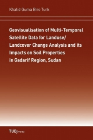
Geovisualisation of Multi-Temporal Satellite Data for Landuse/Landcover Change Analysis and its Impacts on Soil Properties in Gadarif Region, Sudan
 engleză
 119 b
119 b
30 de zile pentru retur bunuri
Ar putea de asemenea, să te intereseze


The current study focused on the East part of the African Sahel in the Sudan, where land use patterns are characterised by complex vegetation covers and scattered distribution of small and large agricultural fields. This study seeks to address the potential of applying multi-sensor remote sensing data for mapping land-use/land-cover (LULC) and their trends of change. Also the impacts of the present LULC types on soil properties were assessed through soil sampling and measurements. Furthermore, the issue of soil conservation, soil management and sustainable land use were discussed reflecting the main findings that have been achieved from the field investigations. Agriculture is the main activity in the study region and practised in many forms with a variety of environmental effects and consequences. Therefore, the development of sustainable land use practises in the dryland-farming of the study area need to be improved in order to reduce the amount of soil degradation in the future.
Informații despre carte
 engleză


 Cum să cumpăr


