Livrare
Consilier de cumpărături


Nu se pretează? Nu contează! La noi puteți returna bunurile în 30 de zile
 Voucher cadou
orice valoare
Cu un voucher cadou nu veți da greș. În schimbul voucherului, destinatarul își poate alege orice din oferta noastră.
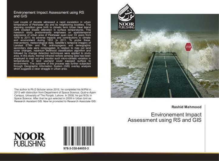
Environement Impact Assessment using RS and GIS
 engleză
 86 b
86 b
30 de zile pentru retur bunuri
Ar putea de asemenea, să te intereseze


Last couple of decade witnessed a rapid escalation in urban temperature of Peshawar city and its neighboring localities. This alarming condition gave birth to climatic term Urban Heat Island (UHI) created drastic alteration in surface temperatures. This research study predominantly emphases on spatiotemporal extensions of urban area of Peshawar span over 33 years from 1978 to 2011; its adverse impacts and contributions to climate and environment during 1931 to 2011. To probe these interventions, meteorological data, Satellite's temporal imagery of Landsat ETM+ and TM, anthropogenic and demographic secondary data were congregated. In relation to map out land cover changes, maximum likelihood classification algorithm and followed by change detection techniques were applied to study area. In this study, thermal infrared remote sensing data has been employed to map out and monitor such micro-climatic variation in temperatures in land use/land cover exposed surface to environment. The outcome of this process was further subjected through Geographic Information System (GIS) overlay analysis which suggests a clear straggle in urban area.
Informații despre carte
 engleză


 Cum să cumpăr


