

 Cum să cumpăr
Livrare
Consilier de cumpărături
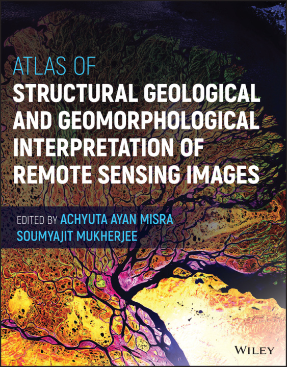
Atlas of Structural Geological and Geomorphologica l Interpretation of Remote Sensing Images
 engleză
 523 b
523 b
30 de zile pentru retur bunuri
Ar putea de asemenea, să te intereseze


ATLAS OF STRUCTURAL GEOLOGICAL AND GEOMORPHOLOGICAL INTERPRETATION OF REMOTE SENSING IMAGESAn extensive compilation of case studies in structural geology and geomorphology for interpreting remotely sensed imagesIn the Atlas of Structural Geological and Geomorphological Interpretation of Remote Sensing Images, a team of experts delivers an extensive collection of over 20 different examples of structural geological and geomorphological studies by remote sensing. The book demonstrates how to properly interpret geological features and gather robust and reliable information from remote sensing images.This atlas contains high-quality colour images that depict a diversity of structures and geomorphic features from different tectonic regimes and geographic localities in the Americas, Europe, and Australasia. While its primary emphasis is on structural geology, geomorphology is considered in some depth as well. The examples also cover geological hazards, including volcanic eruptions and earthquakes.Readers will also find:* A thorough introduction to the background of remote sensing, including foundational concepts and the classification of remote sensing based on data type, source, platform and imaging media* Comprehensive discussions of geomorphology, including explorations of lava fissures, badlands and beaches* In-depth explorations of structural geology, including discussions of deformation bands, fault lines and earthquake effects* Several examples of how to trace hydrological processes such as glacier retreat, changes in drainage patterns and bar formationPerfect for advanced students and researchers in the geoscience community, Atlas of Structural Geological and Geomorphological Interpretation of Remote Sensing Images will also earn a place in the libraries of practicing professionals with an interest in the interpretation of remote sensing images.
Informații despre carte
engleză
