Livrare
Consilier de cumpărături


Nu se pretează? Nu contează! La noi puteți returna bunurile în 30 de zile
 Voucher cadou
orice valoare
Cu un voucher cadou nu veți da greș. În schimbul voucherului, destinatarul își poate alege orice din oferta noastră.
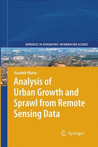
Analysis of Urban Growth and Sprawl from Remote Sensing Data
 engleză
 318 b
318 b
30 de zile pentru retur bunuri
Ar putea de asemenea, să te intereseze


This book provides a comprehensive discussion on urban growth and sprawl, and how they can be analyzed using remote sensing imageries. It compiles views of numerous researchers that help in understanding the urban growth and sprawl; their patterns, process, causes, consequences, and countermeasures; how remote sensing data and geographic information system techniques can be used in mapping, monitoring, measuring, analyzing, and simulating the urban growth and sprawl and what are the merits and demerits of available methods and models. This book will be of value for the scientists and researchers engaged in urban geographic research, especially using remote sensing imageries. This book will serve as a rigours literature review for them. Post graduate students of urban geography or urban/regional planning may refer this book as additional studies. This book may help the academicians for preparing lecture notes and delivering lectures. Industry professionals may also be benefited from the discussed methods and models along with numerous citations.
Informații despre carte
 engleză
Categorii


 Cum să cumpăr


